Being based temporarily at one end of the South Downs Way and a lover of long distance hikes, I mapped out how to complete this 160km route over long weekends and got straight onto booking accommodation. The only problem with this is that you are at the mercy of the English weather, still a problem in the middle of Summer as I would quickly discover!
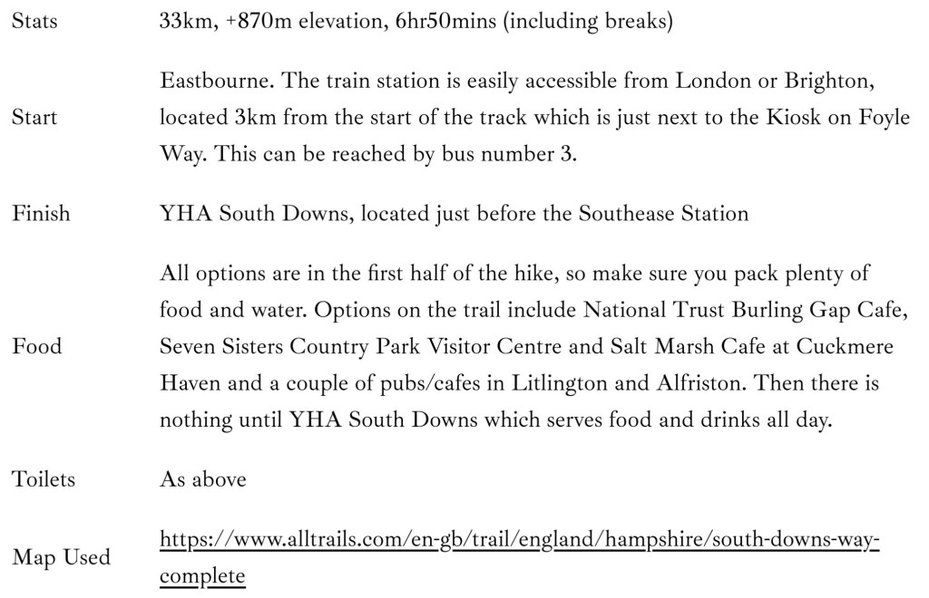
The South Downs Way stretches from Winchester in the west to Eastbourne in the east, totalling 160km or 100 miles, following old routes atop the chalk escarpments of the South Downs, only descending where river valleys necessitate. It was first opened in 1972 as one of the 15 National Trails snaking across England and Wales, the only one of which lies completely within a National Park. It is accessible to hikers, mountain bikers and horse riders and despite being in the crowded south of England and easily accessible from London, once on the trail you feel miles away from the crowds, with sweeping views to the coast and forest, as well as plenty of English farmland.
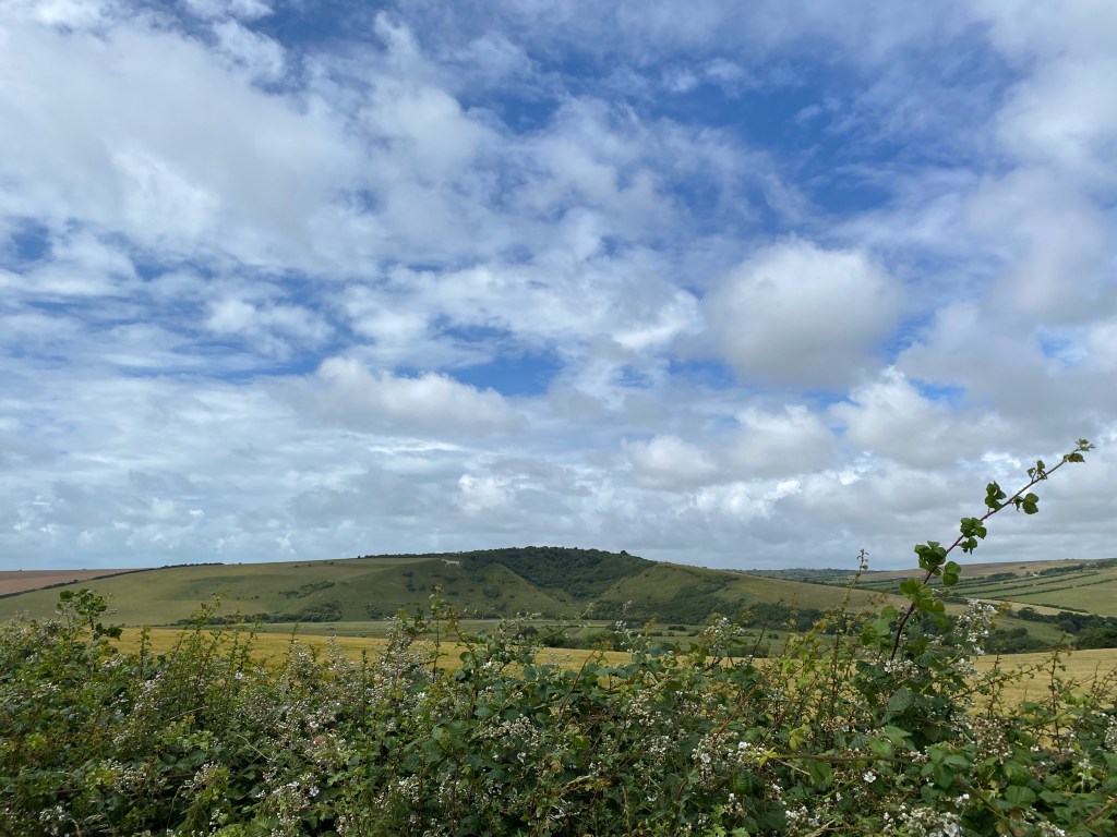
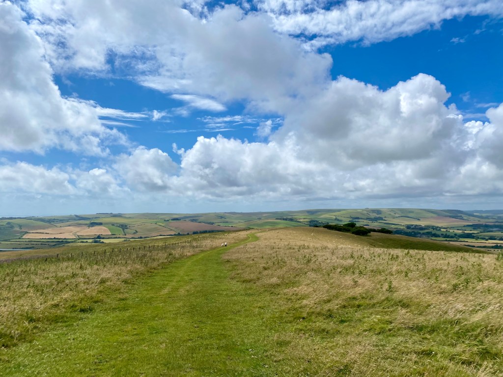
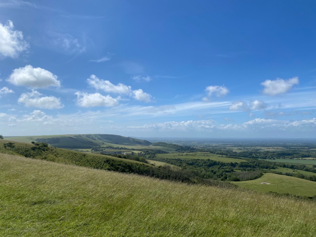
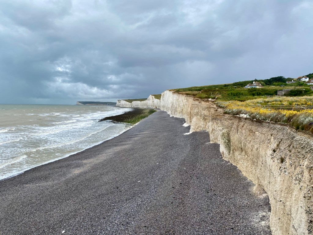
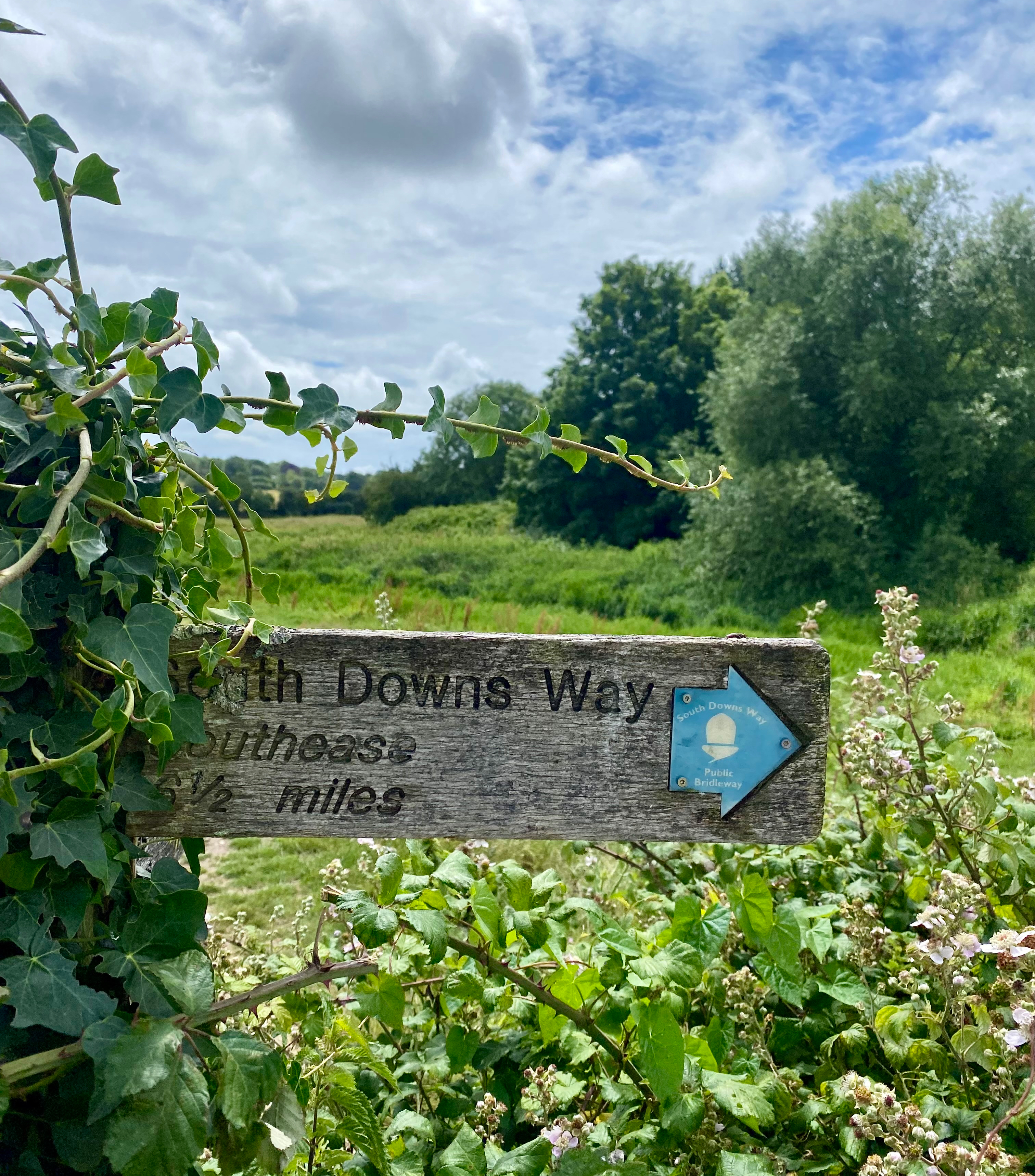
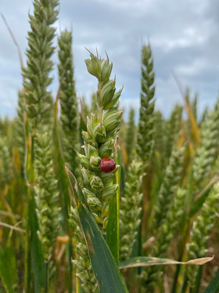
Most people typically walk it over 8-9 days or cycle in 2-4 days and it can be comfortably completed in either direction, at any time of the year. Signage is good throughout, with signs either stating the South Downs Way or a simple acorn symbol indicating a National Trail (I still had an offline map downloaded which I checked periodically) and you generally have good mobile reception. There is plenty of accommodation along the trail as well. The trail is mostly easy underfoot, with a mixture of soft grass, harder chalk and flint. Being the driest and hottest area in England, there is little mud on the trail, particularly in summer, which makes for a nice change. While providing sensational views for much of the trail, being up on the Downs means you are exposed to all the elements, whether that is the sun in summer or wind and rain in winter (or summer too if you get a day like me). There is little cover in the form of trees, and villages are sparse in many sections so be sure to pack enough food and water for the day.
History of the South Downs Way
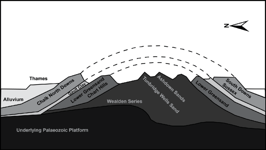
The famous chalk of the South Downs was formed during the Cretaceous period, 70-100 million years ago. This area was a warm, shallow sea during this time that stretched across most of north-west Europe. In this ocean was an abundance of tiny shelled marine organisms that settled on the sea bed above layers of other sedimentary deposits, and with their shells being made of pure calcium carbonate, they formed a chalk dust that gradually built up over time. Just how much time is truly staggering; it is estimated that a depth of one foot took around 30,000 years to form, so with the cliffs reaching 150m, it is hard to fathom.
During the Tertiary period, around 20 million years ago, there was the continental collision of the African and European tectonic plates that formed the Alps. This reverberated throughout the world, causing this chalk deposit to rise as a huge dome above the sea, stretching for around 200km from east to west and from the Thames Valley in the north to Pas-de-Calais in the far north of France to the south. Erosion from ice, frost and rain from then until today has carved away at this dome, further carved away by rivers and streams. As the upper most section of the dome has disappeared with time, the chalk we see today, being the youngest layer, is left only at its edges, known as the North and South Downs, while the centre is known as the Weald and contains the oldest layers.

The chalk forms a giant aquifer, storing water that is fed via springs into the surrounding streams and rivers, and providing a water source for over one million people living in the area today.
There is also a wealth of human history in this area, stretching back to the Neolithic and Bronze Ages, with burial sites dotted across the landscape, including around 400 Bronze Age burial barrows. Nomadic tribes used the Downs as highways, easily accessible compared to the forested areas below the escarpment, while the Neolithic people used the ample flint found in the area for tools. They also brought sheep to the area to graze, greatly impacting the landscape that we see today over the last 5,000 years, along with clearing for agriculture and fuel.
The Romans continued to use this area for agriculture, growing corn and farming animals. With the arrival of the Normans (who first landed just a little further east along this stretch of coastline at Pevensey Bay in 1066), villages grew and the number of sheep grew massively, continuing to expand through to the 19th century.
As demonstrated by the Normans, this coastline is the first point of landfall for invaders, so has had to be tightly defended over the centuries. During WWII this coastline was heavily fortified with pillboxes and tank obstacles quickly constructed. The RAF also set up a forward-relay station at Beachy Head to improve the radio communications with aircraft.
Smuggling was very common along this coastline due to the heavy import taxes on items throughout the 1700 and 1800s. Often whole villages were involved as by evading customs, goods such as tea could be sold for much lower prices, making them more accessible for ordinary people.
The South Downs have also inspired countless writers and artists, such as J.M.W. Turner, over the years. Jane Austen wrote most of Pride and Prejudice here, while Virginia Woolfe, as well as most of the Bloomsbury Group, spent a large amount of time in the South Downs. Poet Rudyard Kipling wrote many works about the South Downs, describing it as “Our blunt, bow-headed, whale-backed Downs,” and going as far as fighting to save the Seven Sisters Country Park when threatened by development plans.
What to Pack
Being summer, even an English summer, I didn’t need to bring as many layers as normal, keeping the weight and bulk of my bag down. I had also booked YHA accommodation which serves breakfast and dinner, so just packed enough snacks and lunches for the three days, supplemented with treats along the way. Depending on how you break it up or your preference, you could probably manage to stop somewhere for lunch each day, but there are very few options along the route, for example on day 2 the only pub I passed was a small detour off the trail.
All this considered, for the South Downs Way in summer I brought with me:
- Osprey Tempest 34L backpack – you could get away with something smaller in summer, but this is my tried and tested favourite that I always use when hiking
- 1x light weight, quick drying t-shirt for walking
- 1x pair of leggings for walking (shorts or light weight pants also suitable)
- 1x pair of light weight merino socks for hiking
- Waterproof jacket
- Waterproof pants
- Waterproof backpack cover
- Worn in pair of sturdy hiking boots
- Hiking poles – not essential, but I am a big fan of these for long distance hiking
- Snacks for 3 days
- Lunch for 3 days
- Plenty of water as there are not many places to refill along the way
- 1x cotton shirt for sleeping in
- 1x old pair of leggings for sleeping in and wearing around the hostels
- 1x spare pair of socks for wearing around the hostels
- Underwear
- Tevas to wear at the hostels
- Microfibre towel
- First aid kit, including plenty of band aids
- Medications
- Chargers
- Powerbank – a must if you are relying on your phone for navigation
- Head phones – while I am a big one for enjoying the sounds of nature, I do succumb to listening to an audiobook or podcast on a full day’s hike solo
- A book

Itinerary for Section 1
Day 1 – Eastbourne to YHA South Downs (Southease) (33km)
Day 2 – YHA South Downs (Southease) to YHA Truleigh Hill (32km)
Day 3 – YHA Truleigh Hill to Amberley Station (24km)
Day 1 – Key Details
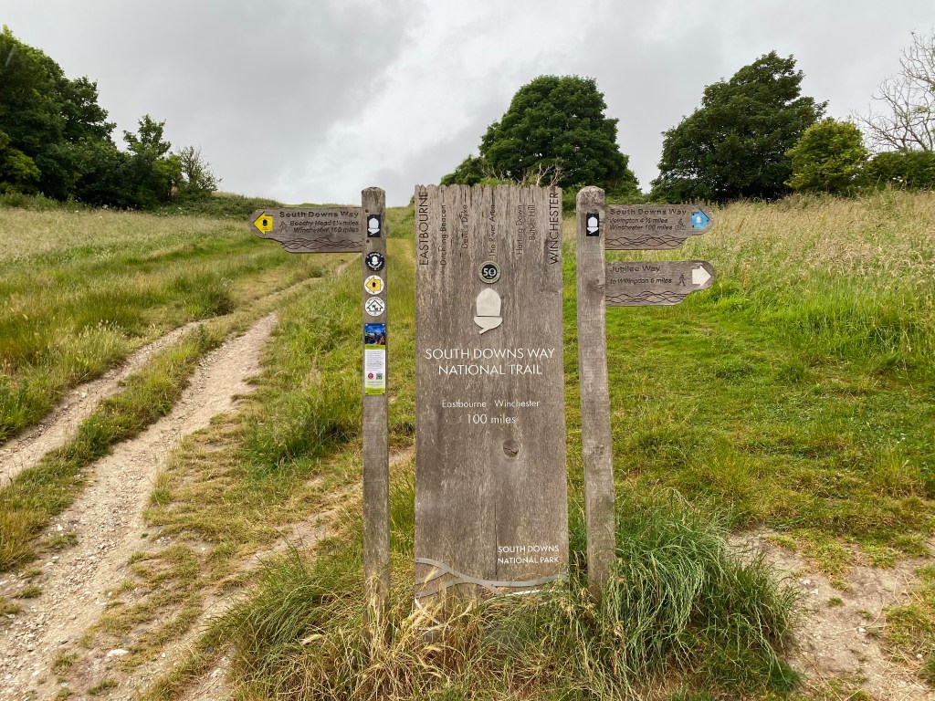
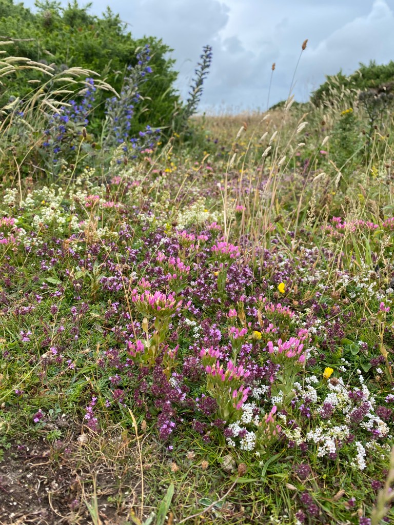
Starting from Eastbourne station, I decided to walk to the starting point, adding an extra 3km to my total, but it was mostly flat and allowed me to see an area of Eastbourne I hadn’t explored before. After an obligatory photo at the start (or end depending on which way you go), I set off up the hill towards Beachy Head. The weather had slowly deteriorated since I began, to the point where it was now raining and extremely windy. So much for being summer! It did mean that I had what is probably the busiest section of the entire trail virtually to myself, with only hardened British runners and dog-walkers out, laughing as we greeted each other. Possibly as a result of the grey skies, the wild flowers on the side of the trail were so vibrant and of a myriad of colours.
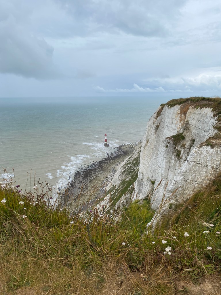
Something to note is that there are two options for this section. Most hikers typically choose the route that I have taken as the views along Beachy Head and the Seven Sisters are some of the best, even on a rainy, windy day. The alternative is an inland route via Jevington which is available to cyclists and horses as well as hikers, joining the hiking route at Alfriston. I have also walked this route and it is lovely, particularly the section through Jevington, but I would opt for the route along the Seven Sisters as it is a stark contrast to the rest of the South Downs Way and truly stunning.
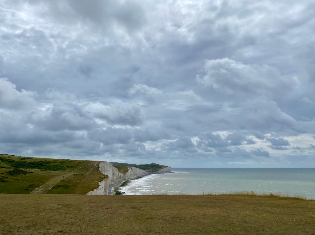
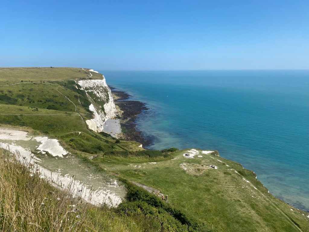
On top of Beachy Head, the highest chalk cliff in England at 162m above sea level, the views are excellent (especially in better weather than mine), particularly of the gorgeously striped Beachy Head lighthouse below, manned from 1902 until it was automated in 1983.
Next along the chalk cliffs is the Belle Tout lighthouse, constructed in 1832, deactivated in 1902 with the new Beachy Head lighthouse and now serving as unique accommodation. While much needed due to many shipwrecks throughout the 17th and 18th centuries, being high on the cliff was a flaw in that sea mists would often obscure it and it wasn’t visible to ships once they were too close to the cliffs. It was sold in 1903 and has been privately owned since, being used as holiday accommodation, a family home and as a filming location in a BBC mini-series in the 1980s and the James Bond film, The Living Daylights. Being located at the edge of an eroding coastline, it was actually shifted back 17m from the edge in 1999.

Descending down to Burling Gap, I sheltered outside the National Trust center for morning tea. Having eaten here before, I can say it is as good as I have come to expect from a National Trust site, with lots of good food, interesting information and a very well-stocked gift shop. Not to mention the biggest second-hand book shop I have seen at a National Trust site.
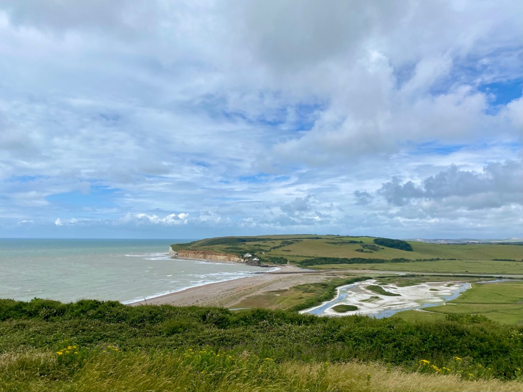
Continuing along the coastline, the next section was along the Seven Sisters cliffs, a series of eight white chalk cliffs between Burling Gap and Cuckmere Haven. While only 5km in length, each cliff involves a short but steep climb up and then back down, a slow-motion roller coaster, but the views are incredible and the climbs are short-lived. Heading inland at Cuckmere Haven, after another climb with great views of the wandering river below, I reached the Seven Sisters Country Park Visitor Centre just in time for a second morning tea. Opting for the Salt Marsh Farmhouse, I gave my legs a short rest while enjoying a delicious slice of peach crumble cake.

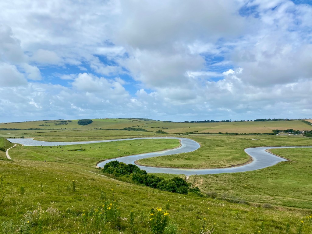

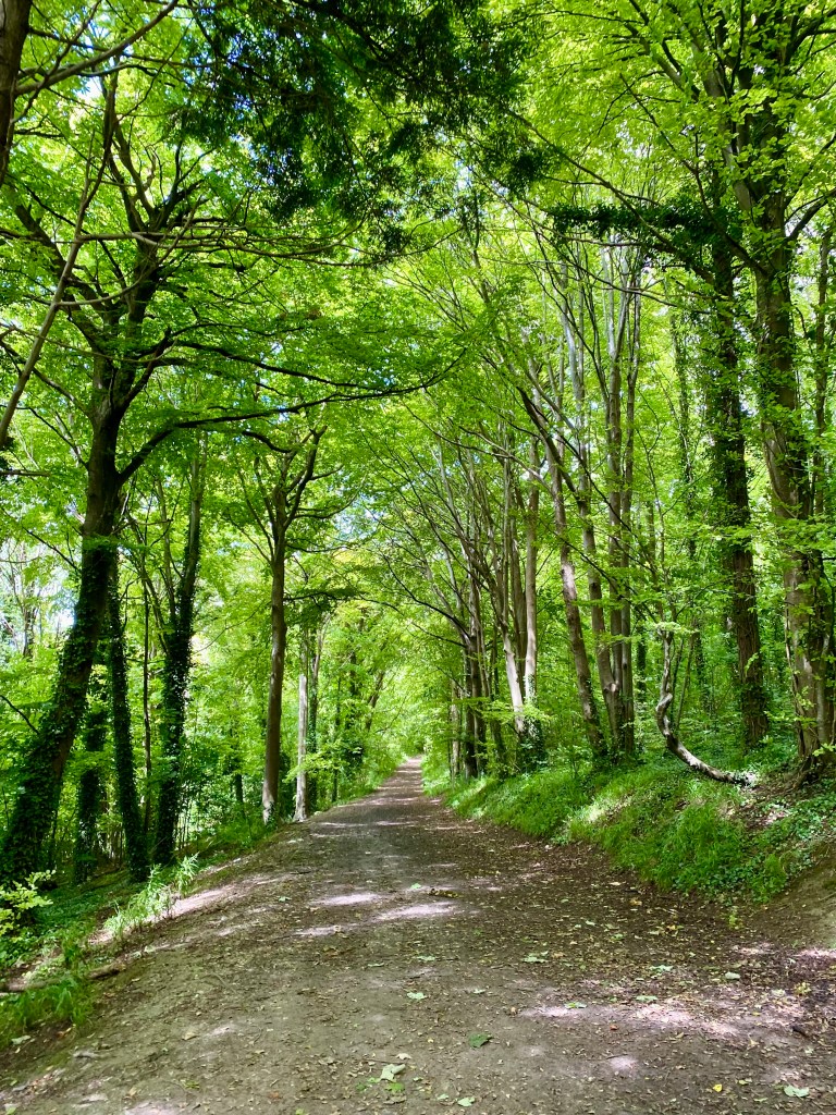
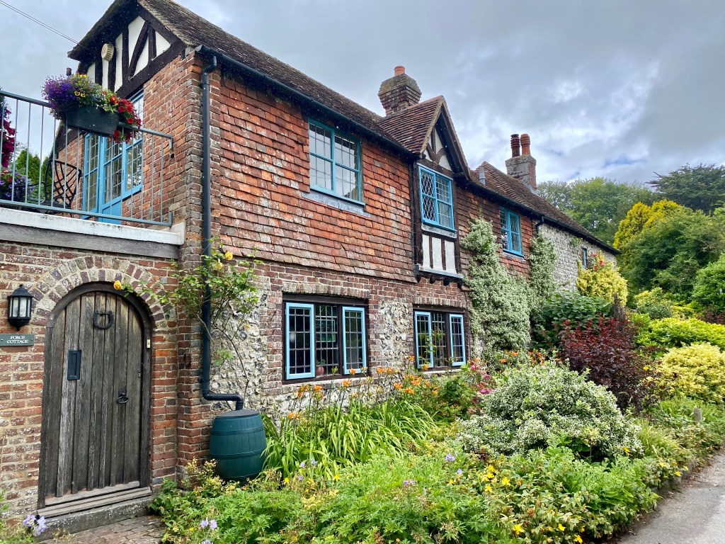
Back on the track, you head further inland skirting Friston Forest towards Alfriston. As well as the beautiful forest, there were some of the most gorgeous English cottages I have seen, covered in bright summer flowers and climbing plants. The path to Alfriston passes through the tiny village of Litlington, then meanders along the Cuckmere River into Alfriston, with stone houses and an old church appearing through the trees. Alfriston was a beautiful little town and if I hadn’t packed lunch I would have had a hard time choosing which pub to eat at as they all looked so inviting. This would also be a lovely place to stay, with cute little shops and accommodation.

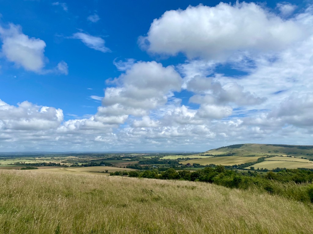
Heading out of Alfriston, it was a long and steady climb up onto the Downs to Bostal Hill. From there the trail was an undulating walk on easy terrain with sweeping views of the ocean to the south and farmland dotted with villages to the north, passing Firle Beacon, Beddingham Hill and Iford Hill. This would have been far more enjoyable had the wind not reached new levels of craziness, requiring a significant lean from me in order to stay upright. Being a long hike I had brought my hiking poles, which further kept me from toppling over.
Glad to descend from the Downs for the first time ever, the YHA South Downs stood patiently tucked into the valley made by the River Ouse, just before Southease Station. With a number of private rooms, dorms, camping and glamping huts available along with the standard self-catering kitchen, guest lounge spaces and hearty breakfast and dinner options I have come to expect from YHA’s, this is a great place to stay while walking or riding along the track.
Refuelling on afternoon tea in the sunshine, followed by a large dinner later on, I was well and truly ready for bed after a long day.
Helpful Resources
Walking the South Downs Way, by Kev Reynolds
https://www.nationaltrail.co.uk/en_GB/trails/south-downs-way/trail-information/
Sources
Walking the South Downs Way, by Kev Reynolds
https://www.sevensisters.org.uk/
https://www.southdowns.gov.uk/our-history/geology-of-the-south-downs/
https://www.discoveringfossils.co.uk/hastings-east-sussex/
https://www.kgg.org.uk/kentgeo.html
https://learning.southdowns.gov.uk/culture-heritage/artists-of-the-south-downs/
https://en.wikipedia.org/wiki/Belle_Tout_Lighthouse


Leave a comment